
India's First Agri-Analytics & Collaboration Platform. Connecting farmers, FPOs, and service providers through a unified digital backbone.
Seamless coordination between drone pilots, FPOs, and buyers.
Works in low-connectivity zones typical of Himalayan regions.
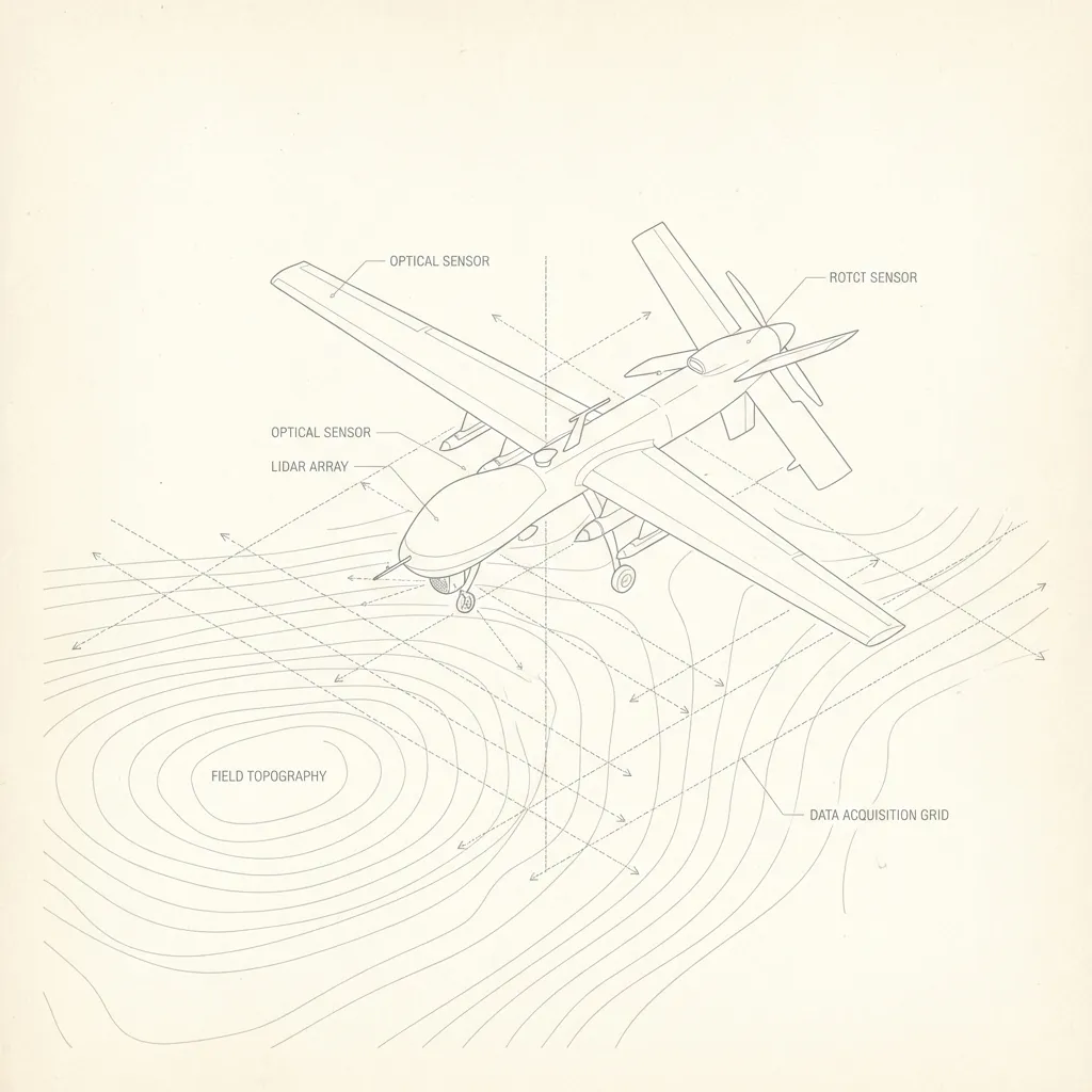
AI-driven insights for pest detection and yield estimation.
Connects farmers to government databases via Open APIs.
Connecting farmers, FPOs, drone operators, and buyers through a unified analytics layer. Starting from Uttarakhand.